
Leg Three
View from the top of the Sleeping Giant
Ready to get back at it after nine days of shore leave, my new shipmate, John Renna, texted me while I was laying over in the Detroit airport.
“My flight out of Columbus is late and I will miss my connection to SSM. I am rerouting to Minnesota and won’t arrive in SSM ‘til 11:30 tonight. Bummer.”
So began Leg Three, Sault Saint Marie to Thunder Bay, Ontario. Would such an inauspicious start portend further unwelcome surprises ahead? Only time would tell.
John took a $100CAD cab across the border from Michigan, finally arriving at Bondar Marina on the Ontario side of the Saint Mary’s River around one o’clock in the morning. We toasted his arrival, then crashed.
A very good friend of many years, Jocelyn and I first met John as a neighbor when we lived on Vassar NE in Albuquerque. John lived two doors down with his then wife, Elaine. As grade schoolers, their two boys cavorted with our son, John, and we all became friends. An avid camper and river tripper, John knows wilderness travel. This will be his fourth time as Windleblo crew.
Beer run in Sault Saint Marie
The forecast showed northerlies setting in soon. We were headed north and I had learned long ago not to fight the wind. It was either hustle up and go right away or wait until the northerlies passed and then go. We opted for the latter and spent a couple of evenly paced days checking out the town, enjoying restaurant meals, and readying the boat for two weeks of voyaging. We packed the holds with $150CAD worth of Ontario craft beer and $400CAD worth of food. We were set.
Tanks full and spirits high, we paid homage to Neptune, then shoved off at midday on Friday, July 27th, 2018, for a 21 nautical mile afternoon sail to Ile Parisienne in Whitefish Bay, the southeastern most corner of Lake Superior.
Within minutes of leaving the marina, we approached the Canadian lock that would lift us up to the highest Great Lake.
“VDX23, VDX23, VDX23, this is Windleblo, Windleblo, Windleblo,” I hailed on VHF radio Channel 14.
“Windleblo, Windleblo, this is VDX23. Go ahead.”
“This is the Sailing Vessel Windleblo approaching up bound requesting transit through the lock,” I called.
“Request granted. Watch for the green light and proceed into the lock, starboard side tie,” came the response.
The Canadian lock
Our timing was perfect. An excursion boat full of tourists had just left the lock headed back to town. The lock doors were open and the light was green. We glided in.
Passing the lock sill, I noted a depth of five meters. Once inside, the depth increased to seven meters. Looking up from the bottom of the lock, we could see the lock master gazing down at us from about eight meters above. Rubber sheathed cables hung down the starboard wall of the lock, one every six feet or so. I edged Windleblo up to the wall and from the bow John looped a line around one of the cables. I did the same at the stern.
Imperceptibly, we began to rise. Unlike the huge locks on the Welland Canal, this was a smaller, older lock, more like those we transited on the Gota Canal in Sweden and the Caledonia Canal in Scotland. There were no pulsing waters, roiling boils, or hissing valves, just a soundless, laconic ascent as we rose seven meters to the elevation of Lake Superior, about 600 feet above sea level.
Exiting the canal, we bid the lock master good day and began our Lake Superior experience.
Consistent westerlies were forecast once we rounded Whitefish Point, but before then we would have to transit the shipping channel and fight close hauled through short steep waves once the bay opened up. John didn’t have to wait long to get a taste of life on a tilt as we heeled our way back and forth up the bay.
We set our anchor in the lee of Ile Parisienne. A good dinner and some rest fortified us for the 80 nautical mile crossing to Michipicoten Island, the lake’s second largest island. Our alarms rang at oh four hundred hours.
The westerlies proved reliable. A gentle breeze propelled us on a beam reach all day, no other boats in sight. The sun was still pretty high as we arrived in Quebec Harbor on the island’s southern shore near seven o’clock in the evening. The harbor was large but empty of boats. Even with a few dog eared fishing camps dotting the shore, it felt very, very far away from anywhere. We chose an anchor spot in about four meters of water at the east end of the harbor. The anchor set quickly in good mud. As evening settled, I took a swim step shower to clean up. The dunk in the lake to rinse off was very brief. At less than 60 degrees Fahrenheit, the water was numbingly cold canceling any thought of swimming around the boat.

Leg Three Crew
We were now indeed in the heart of Gitchee Gumee. Noticeable from the outset, but now a day further into it, the evidence was indisputable. This lake was different – deeper, bigger, badder, colder, wilder, much more remote than any of the other Great Lakes. A check of our cell phones revealed “No Service” as if to confirm the obvious. We were now alone and had left the rest of the world behind.
Having found few decent hiking trails on the North Channel islands, I had little expectation of finding any here. On our layover day in Quebec Harbor, we opted to dinghy about a mile across a narrow strait to Davieaux Island, part of a set of long narrow islands just off Michipicoten’s south coast. There, Bonnie Dahl promised a “most interesting” outing to an old lighthouse. We trolled for fish as we dinghied slowly across the strait between the islands. Landing at a dock near the northeast end of Davieaux, a concrete walkway led up the spine of the island to the light keeper’s house, a helipad, and some utility buildings. The light is automated now and the light keeper is long gone, yet all the structures are well kept with metal roofs and intact windows. The concrete walkway ended and an overgrown footpath led a further few hundred meters to the light. Returning from the lighthouse, we paused on the rocky southern end of the island to cast a lure into the lake and take in the awesomeness of the place. John hooked a fish, but it wriggled off. Crossing back to the Windleblo, we trolled again. Still no joy.
The light at Otter Island
Bonnie Dahl’s guide book, “The Superior Way,” is the definitive source for information on Lake Superior cruising destinations. While our friends from The Raven had told us in Tobermory that pictographs were to be found on Michipicoten, we could find no reference to them in Bonnie’s book. Without better intel, we did not know where to start to look. We left Michipicoten the next day feeling we had missed an important attraction.
Now well beyond cell phone and hotspot range, our sources of weather information had diminished to two. The first was a continuous VHF radio weather broadcast by the Sarnia, Ontario, Coast Guard station. John grew affectionate of the electronic female voice the Canadian Coast Guard used for these broadcasts, asking each morning when we could listen again to “Sonya.” Her report covered all of the Canadian Great Lakes, so wasn’t as precise as desired. But at least it provided a sense of wind direction and velocity and whether big waves and winds were on the way. The second source was Jocelyn, my First and Only Mate and shore side coordinator for this voyage. Via Iridium 9555 satellite phone SMS, she provided a nightly synopsis of windguru.com weather forecasts for our current position. Between the two, I maintained confidence in my decisions on when to go and when to hunker down to stay out of the way of bad weather.
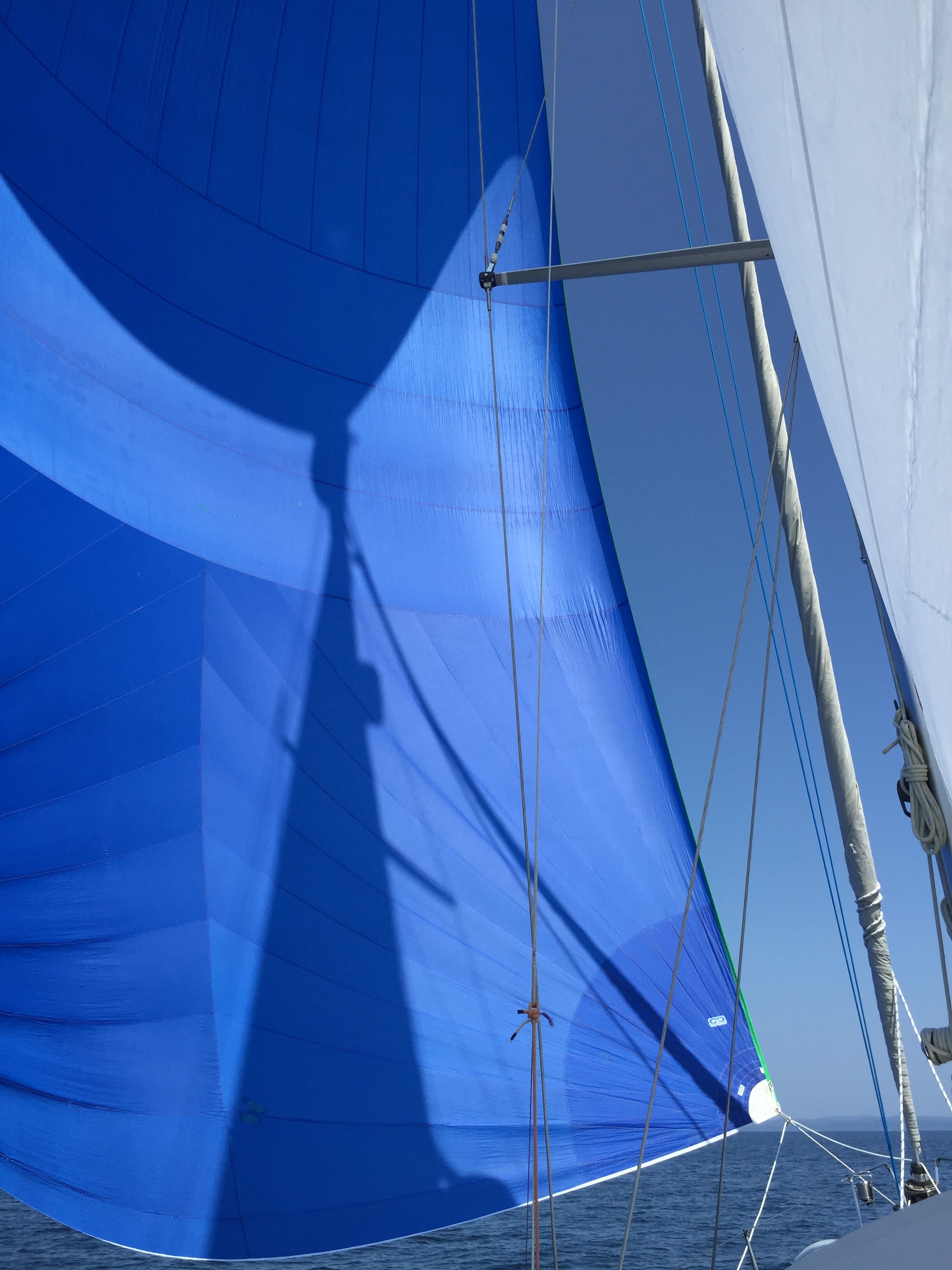
Gennaker reach to Michipicoten Island
Our route plotted, we gennakered 30 nautical miles in light winds on a heading near due north to Old Dave’s Harbor, an exquisite anchorage between two islands at the north end of Otter Island. Anchoring in six meters, the hook set quickly. On shore, a light keeper’s house stood open though somewhat dilapidated. A sign announced we had entered the Pukaskwa National Park, the most remote corner of Lake Superior. A trail led a half mile through the forest to the lighthouse and another set of residence structures, one of which was also open. We signed the register and took in views of the rugged coastline.
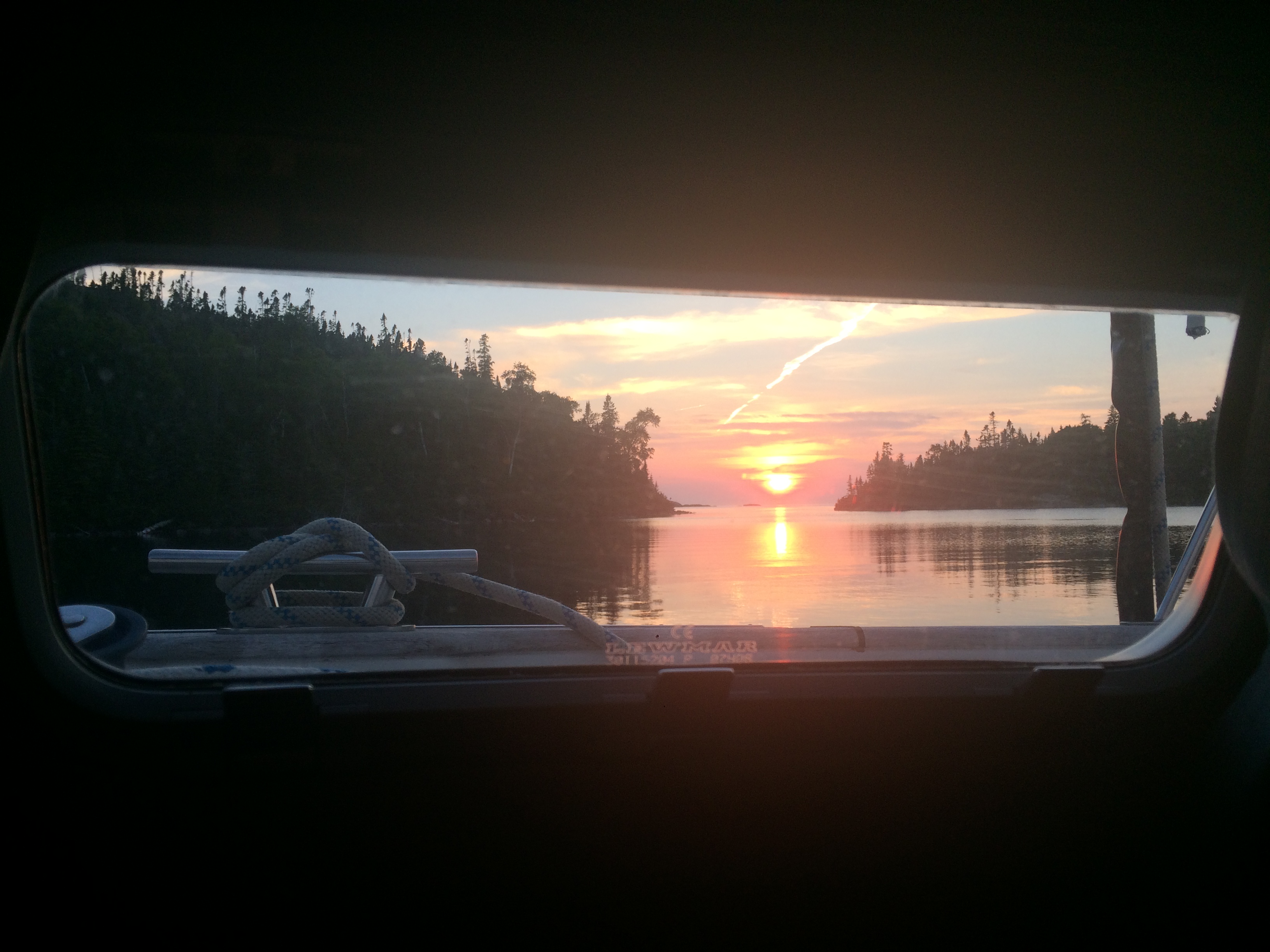
Sunset through the porthole — Old Dave’s Harbor
Just opposite Old Dave’s Harbor on the mainland, the Cascade Falls crash directly into the lake in an impressive display, the only one of its sort on the entire lake. Bonnie’s book told of warmer swimmable waters in the waterfall’s pools if one climbed a trail up the falls. A layover day was in order. But as is often the case in this business, the wind gods had other ideas. The winds were forecast to blow favorably for the next day, but then turn northeasterly and blow hard. If we laid over to climb and swim the falls, we would be stuck on the Pukaskwa coast for three more days. Though tempted by the allure of the falls, I chose to take advantage of the southerlies and sail 50 downwind miles to Pikes Bay, a hurricane hole in the middle of the remote Slate Islands, to weather the blow.
A stormy day and a half later, the clouds parted and we motored out of the Slates without catching either a fish or a glimpse of the caribou alleged to inhabit the islands. As with the Michipicoten pictographs, we left feeling a bit cheated for not finding promised attractions. When would our luck turn? Perhaps at our next destination?
McNab Harbor is described as a good fishing spot. A small nature harbor, McNab opens abruptly on the south side of St. Ignace Island. As one approaches from the lake, the harbor does not reveal itself until the last minute, leaving one to think he is driving straight into the cliffs.
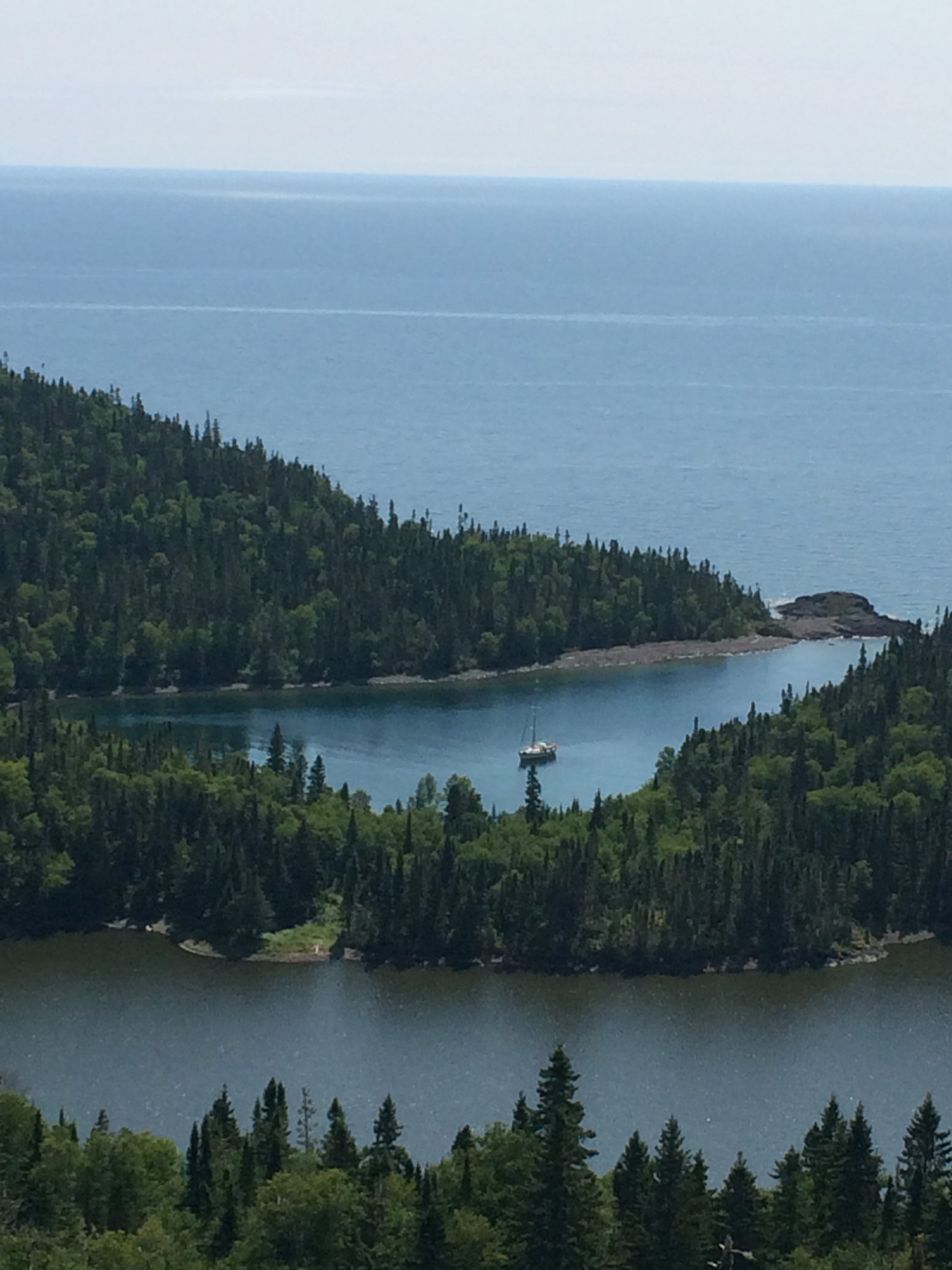
Windleblo from the ridge above McNab Harbor, Pike & Moose Lake in the foreground
Once inside, a well-protected all weather harbor appears. We found good holding in six meters of water with adequate swinging room. We dinghied ashore. A short 50 meter trail led from the north end cove where we anchored to a separate sizeable lake. Tall cliffs rose from the steep slopes on this lake’s northern shore. Here, Bonnie wrote of the chance to catch enough fish to match our hunger. We were jazzed to portage the dinghy across the land bridge and spend the next day fishing.
Our scouting mission complete, we turned to leave. Out of the corner of my eye, I noticed something different at the far end of the lake. What was it? At first, I thought perhaps it was a sign I hadn’t noticed before, but that made no sense. Why would there be a sign out here in the middle of nowhere? Looking closer, the sign moved! I studied harder. At this distance it was hard to tell what it was, but it was definitely alive. Slowly, it became clear. It was a moose coming down to the water in the late afternoon to feed!
Initially, she moved very slowly, looking left and right, checking for predators or threats. We were downwind a couple hundred meters away just around a bend in the shore, hardly within her view. She hadn’t seemed to smell or notice us. Slowly, silently we crept toward her for a closer look, alternating between careful rock hopping along the shore and slow motion walking through the mossy forest. Inch by inch we worked our way closer as she waded into the water and started to feed. We stopped about 50 meters across the water from her, unnoticed. She was at least six feet tall and an equal length long, with long legs and thick neck and shoulders. For 45 minutes, we watched as she ate, covered to her haunches in the water, lifting her head for a breath, then lowering it underwater for 30 or 40 seconds at a time to graze the tender shoots of grass. Occasionally, she would shake her head after lifting it, ears flapping, water spraying. We heard a snort or two as she ate.
In time, we backed away without disturbing her and retreated to the boat, elated at finally seeing a large north woods mammal in its habitat.

The catch: Northern Pike
As planned, we returned to the lake the next day, portaging the dinghy and launching it for the fishing expedition. I was equipped with the ocean rod and spinning reel, a worm and sinker attached to the line. John had the smaller casting rod and a daredevil spoon lure. We rowed to the upwind end of the lake and started fishing. A light breeze carried misty fog the along with us as we drifted down the edge of the lake. Just ten minutes in, I felt a big strike. I set the hook and soon landed a two-foot-long Northern Pike. We rowed back to the trail to clean the fish. While cleaning, John casted from shore and he too soon landed a second Northern Pike of equal length. Our luck had changed! We continued, stopping after four pike were caught and cleaned, ready for the fry pan.
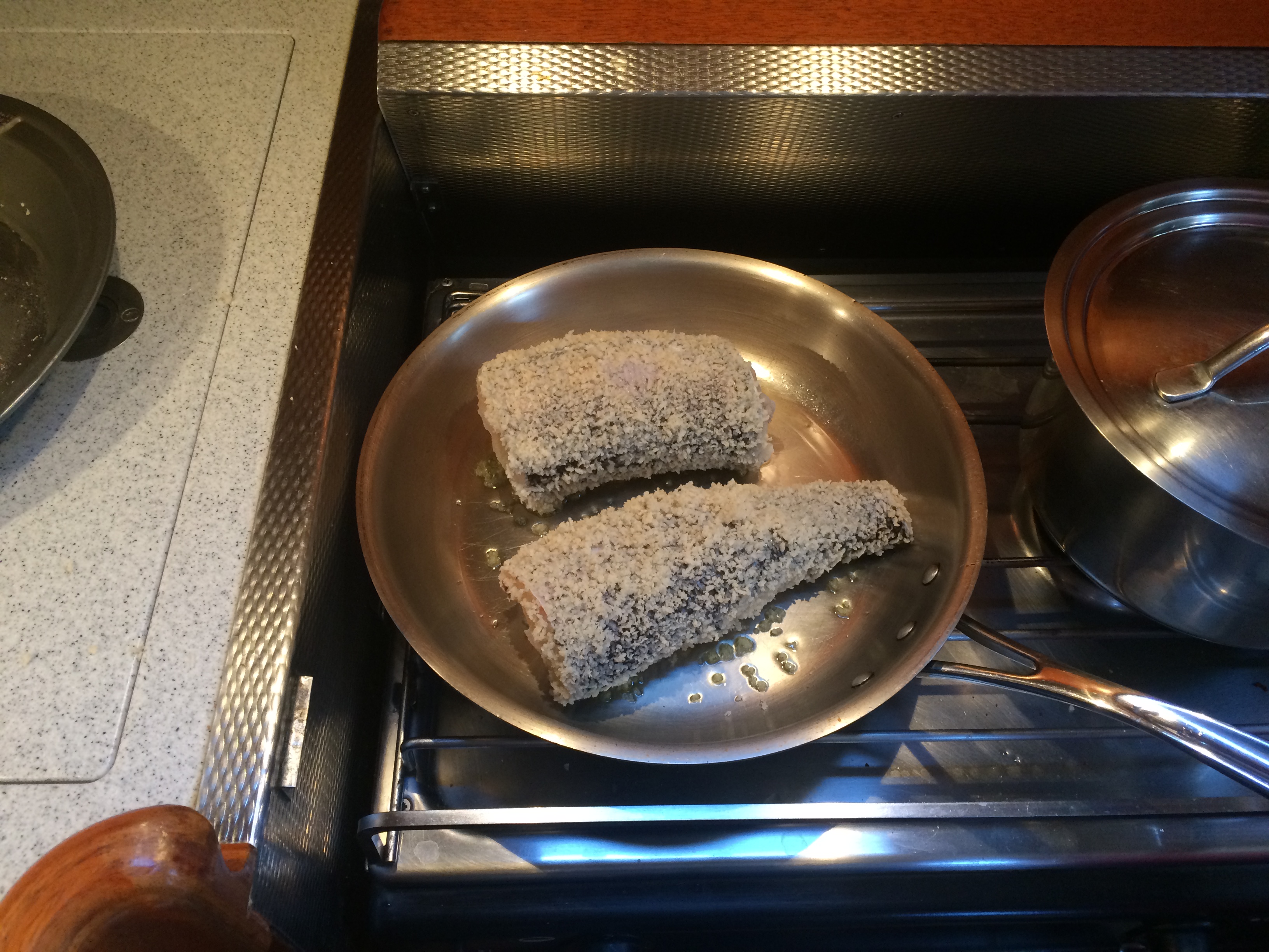
Fresh fish in the fry pan
The skies had cleared completely since the Slate Island blow, and the ridge above the lake beckoned. We climbed through choked forest and over boulder strewn slopes, cresting the ridge via a tight notch. Taking in stunning views of the lake, the harbor, and Lake Superior beyond, we sat on the mossy carpet while enjoying a peanut butter, banana, and honey wrap. The day was complete. Descending, we crossed the lake and portaged the dinghy back across the land bridge to McNab Harbor, returning to the Windleblo. On the menu for dinner? Pan fried panko breaded Northern Pike, parslied potatoes, and green salad.
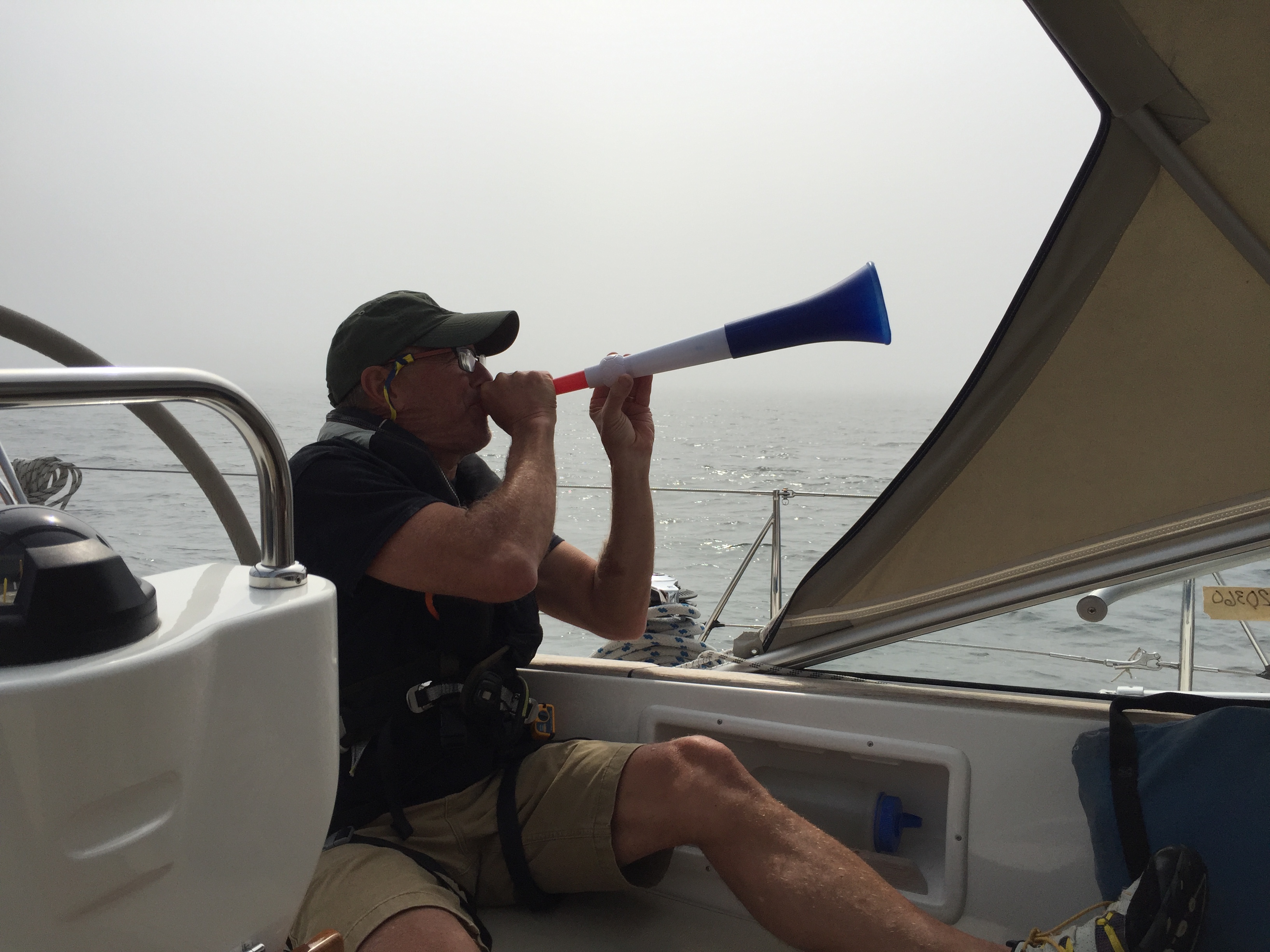
Blowing the vuvuzela in the fog
Twenty nautical miles southwest lay Otter Cove, a cozy well protected cove at the end of a long bay carved into Black Bay peninsula. A beam reach powered us half way there before fog set in and the wind died. Motoring along, John occasionally blew on the vuvuzela to announce our presence in the fog. Fortunately, the fog lifted before we arrived. Four other boats, three with an American flag on their transom, were anchored in the cove. Once installed, we launched the dinghy and rowed to the north end of the cove where a waterfall descended. A footpath led a mile along the stream to a large backwoods lake where the water was warmer (~70 degrees) and quite swimmable.
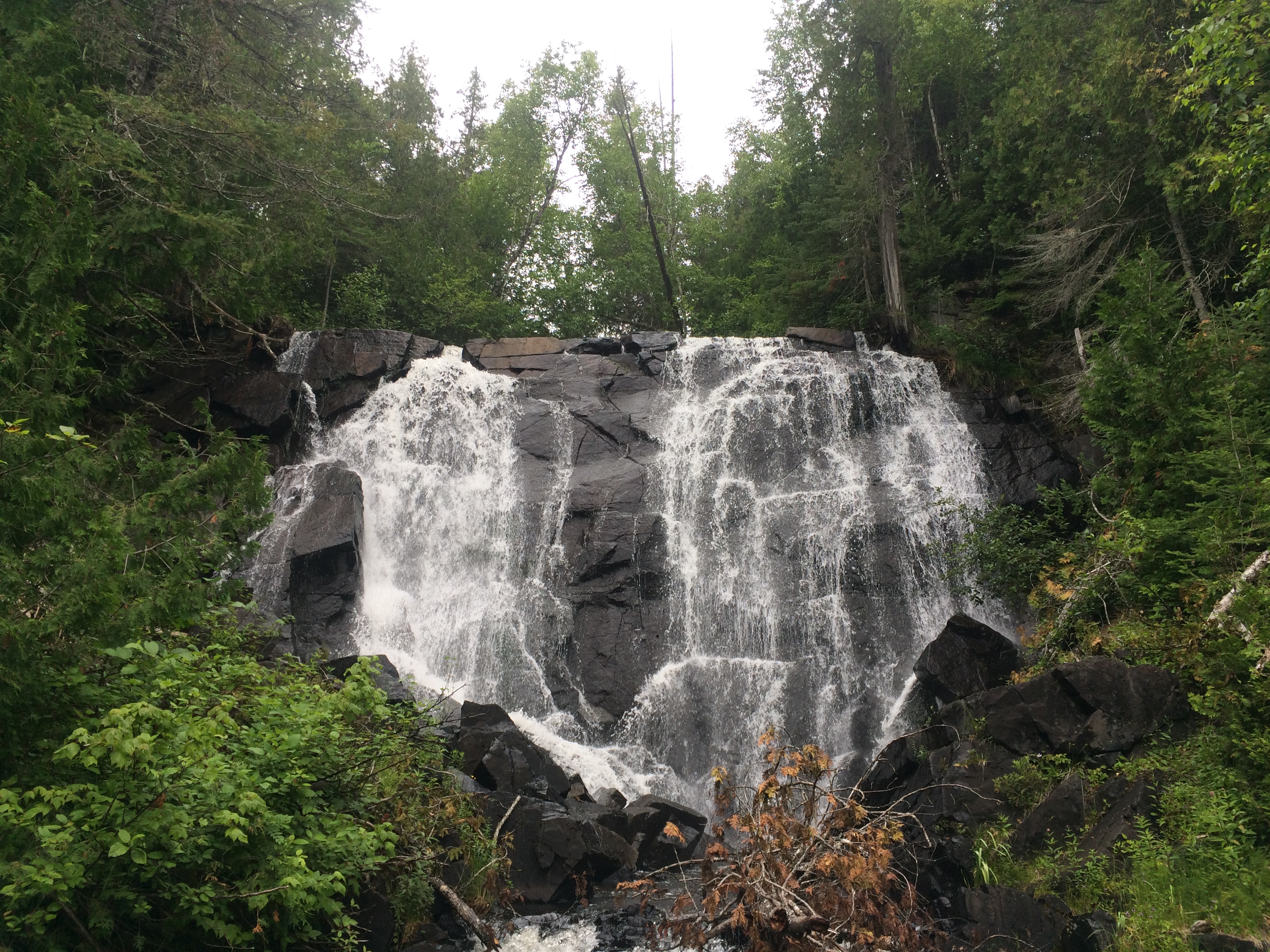
The waterfall at Otter Cove
Returning to the boat, we were approached by fellow cruisers in their dinghy. They invited us to join them on one of the other boats for happy hour. Ten people, two from each boat, shared good drink and conversation as afternoon turned to evening.
Our luck holding, we weighed anchor and motored away from Otter Cove just as four trawlers were arriving. Our next anchorage was only a short six nautical miles away at Loon
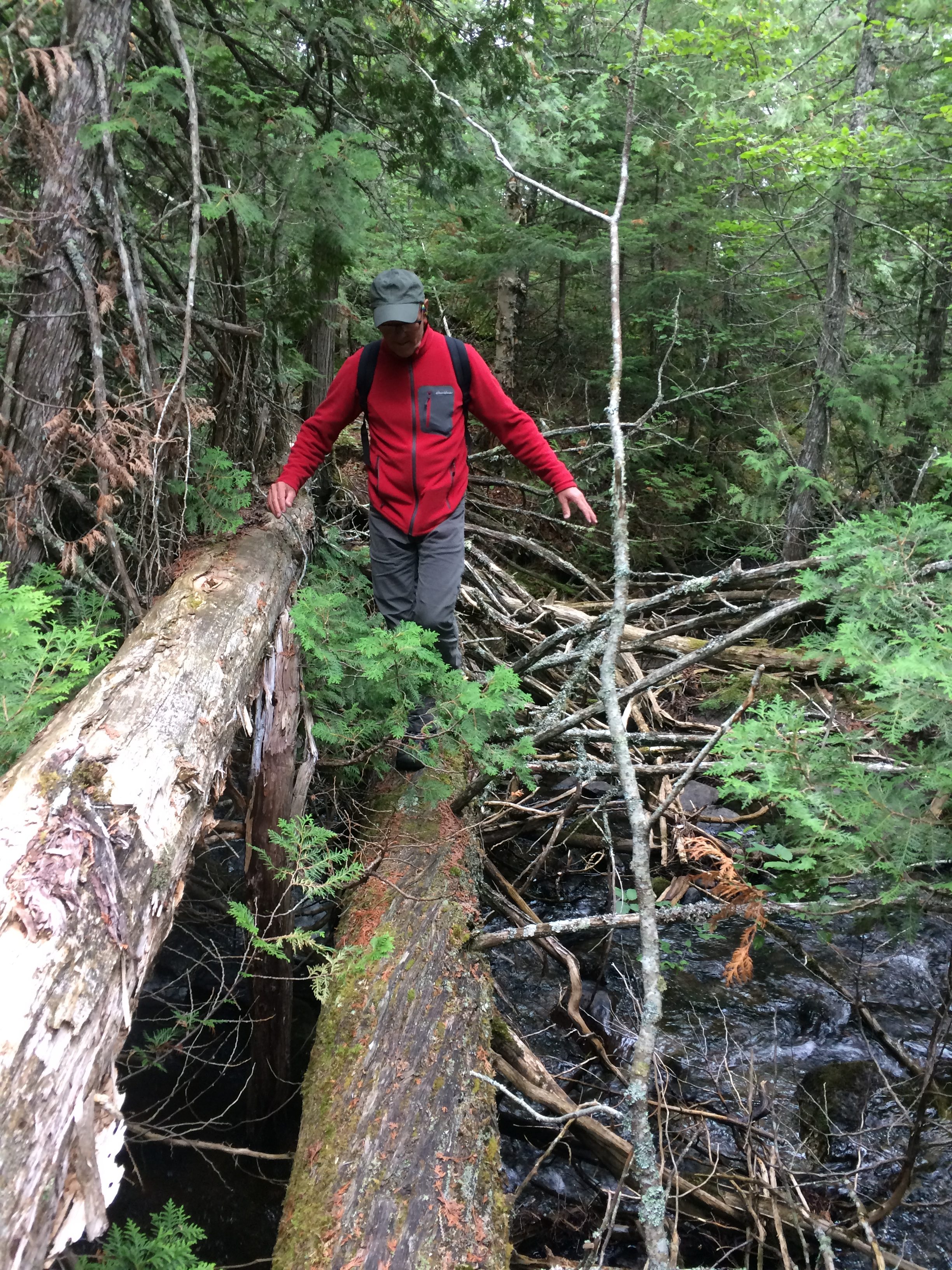
Crossing the stream above Otter Cove
Harbor, which Bonnie describes as one of the most beautiful on the lake. Two other boats were anchored in the favored spot when we arrived. We took our place among them. The anchorage was set among a picturesque network of spruce and balsam studded islands and islets with rocky lichen-painted shores. Immediately adjacent to the anchorage was an open area on shore with a large fire ring. As we settled in, a small dinghy approached carrying four people. Hailing them over, we asked where they had been. They told of a sauna less than a mile away up the slot between the islands.
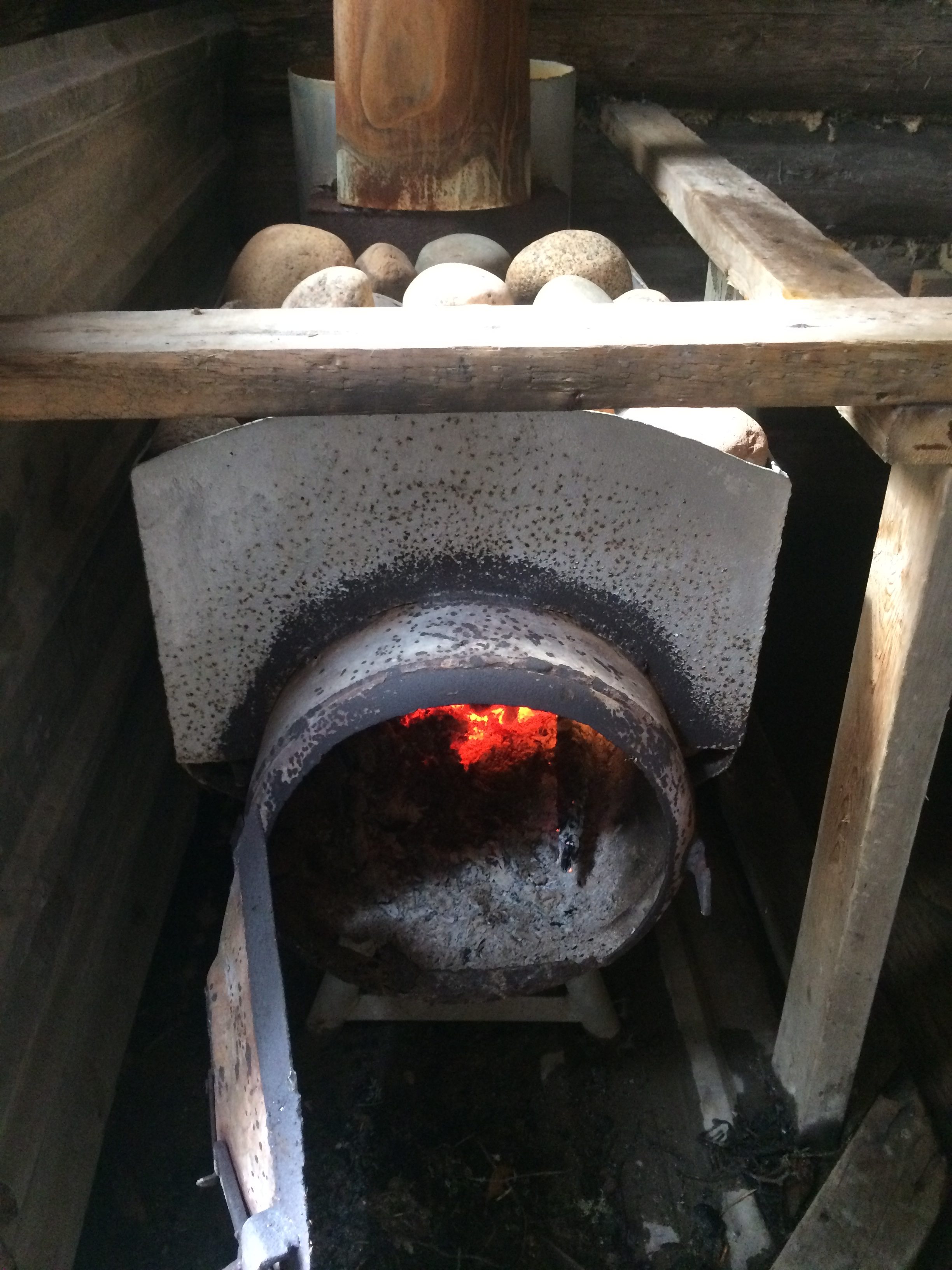
The wood burning stove
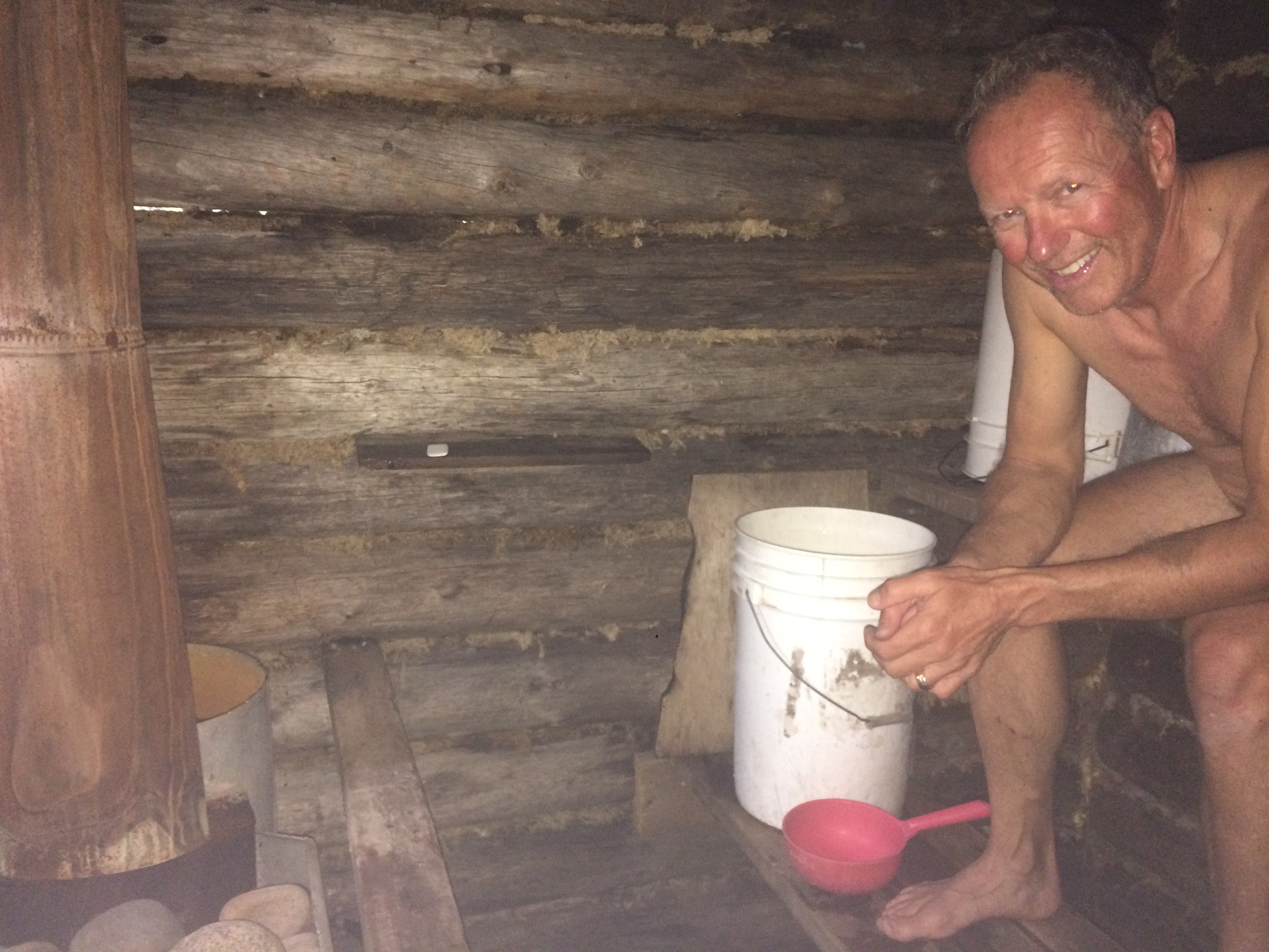
Sweating inside the sauna
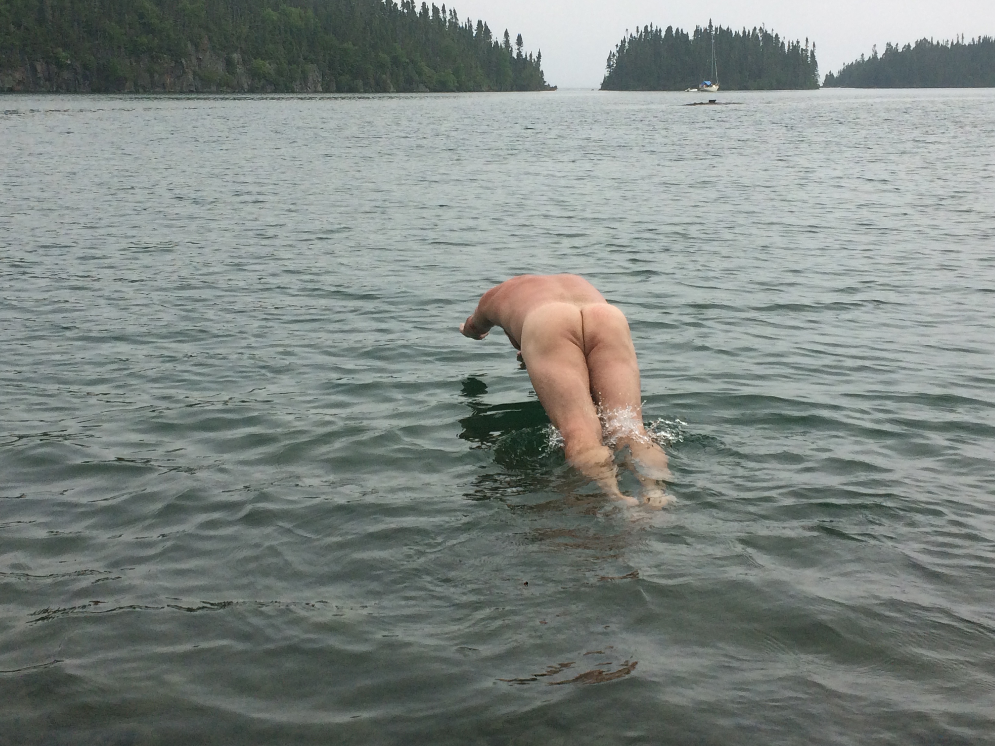
After the sweat, the cold plunge
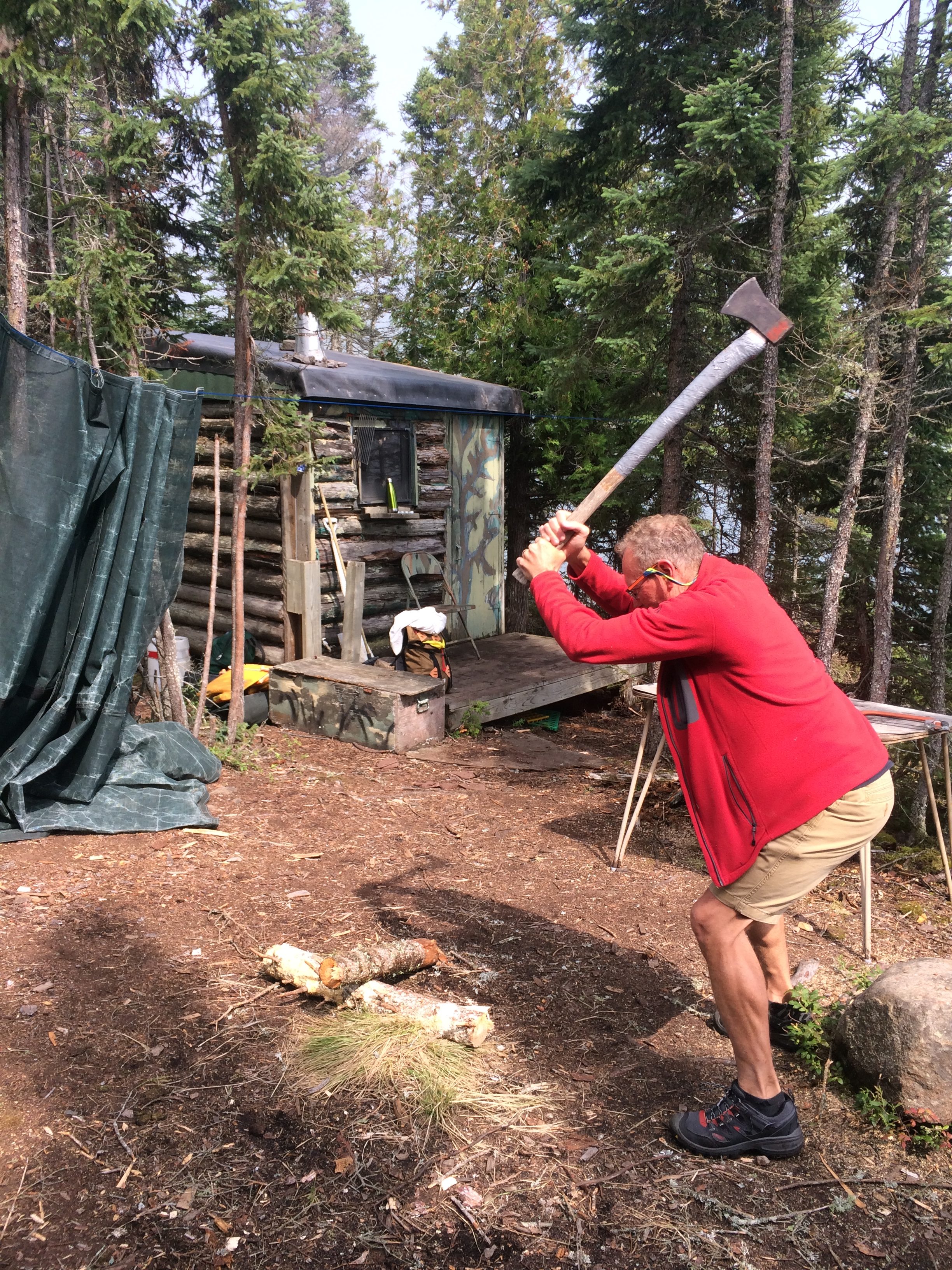
Replenishing firewood for the next folks
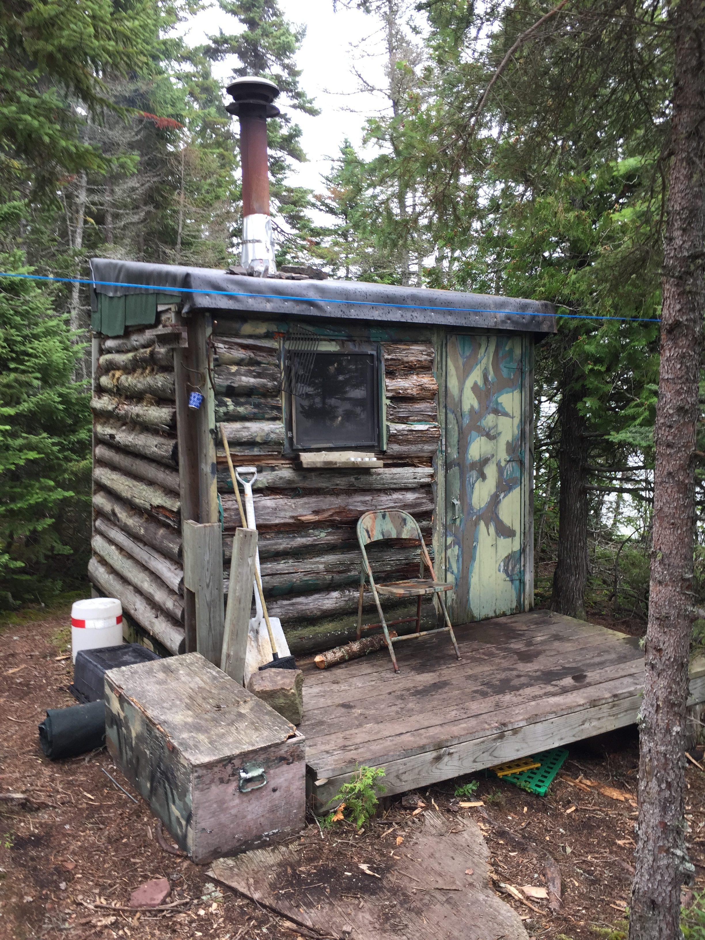
The Finnish sauna
We launched the dinghy and went to find the sauna. It was classic – roughhewn and rustic, with a barrel wood stove inside, coals still burning. With no one else there, we doffed our clothes and started sweating. Twenty minutes later, we emerged for a cold plunge into the lake. Two more cycles of sweat and plunge and we were done. After foraging for wood to replenish what we had burned, we dinghied back to the boat with the clean mellow glow that follows a good Finnish sauna session.
Later, we invited our neighbors to join us on shore for S’mores around the fire. A strong thunderstorm delayed the start of the evening, but we eventually gathered around the fire ring to share stories, jokes, and songs until midnight with new friends, Bill and Linda and Mike and Coleen, of Hancock, Michigan, and their boat, the Victoria Queen.
Our time on Lake Superior’s northern shores nearing an end, we spent a final layover day climbing the Sleeping Giant, a 1,000-foot-tall mountain at the end of the Sibley peninsula, which forms the eastern shore of Thunder Bay. From Bonnie: “According to Chippewa legend, the giant is the famed Naniboujou who once lived on the peninsula. There are at least two different legends. One relates that Naniboujou, who was supposed to be protector of the Chippewa, was turned to stone by the Great Spirit when the presence of silver on this shoreline was revealed to the early white explorers. Another story tells how Naniboujou killed his wife in a fit of temper when she was nagging him in a time of hunger and starvation. Horror stricken, he ran out into the night, but could not escape the haunting visions of his murdered wife and in terror staggered and fell backward into the lake. The Great Spirit took pity on him and turned him into everlasting stone.”
With Windleblo resting comfortably on a Thunder Bay Yacht Club mooring ball in East Tee Harbor, we ascended four miles up to the top of the Giant on trails well maintained as part of the Sibley Peninsula Provincial Park. We were rewarded with glorious views of Thunder Bay to the northwest and Lake Superior to the southeast. Isle Royale could be seen a scant 15 miles across the water, beckoning toward further adventures during Leg Four of the 2018 cruising season.
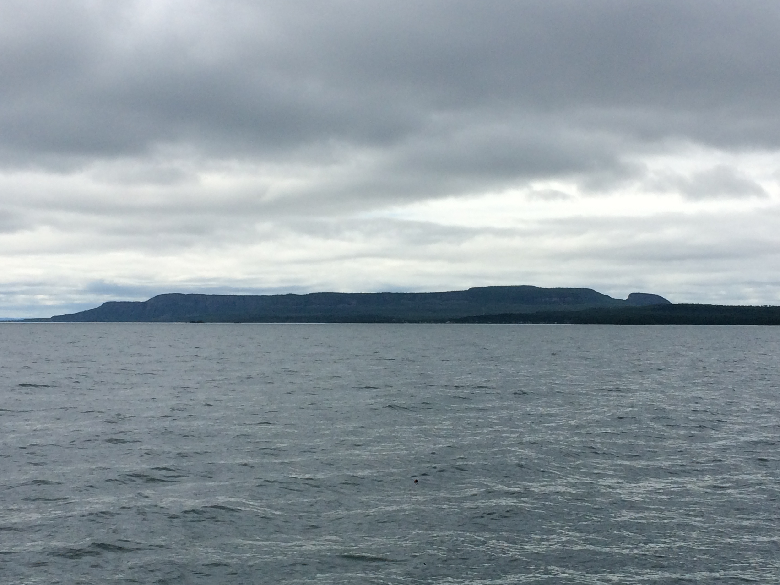
The Sleeping Giant
Comments
Leg Three — No Comments
HTML tags allowed in your comment: <a href="" title=""> <abbr title=""> <acronym title=""> <b> <blockquote cite=""> <cite> <code> <del datetime=""> <em> <i> <q cite=""> <s> <strike> <strong>